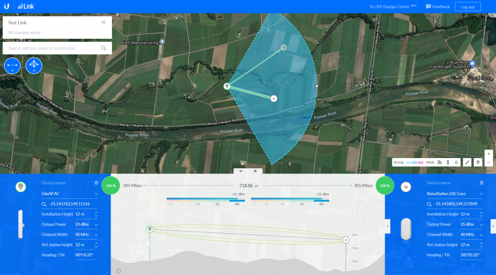
How to use the Ubiquiti airLink tool to design and plan Wireless Network Links
Ubiquiti simulation tool to assist with wireless Network Link planning and design. It uses geographic coordinates using maps overlaid with line-of-sight and Fresnel zone clearances which account for the earth’s curvature, link budget, expected capacity, signal levels, and network coverage.
How to use the Ubiquiti airLink tool to design and plan Wireless Network Links Read More »
